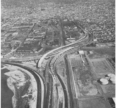
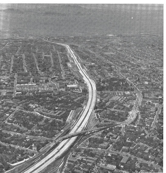
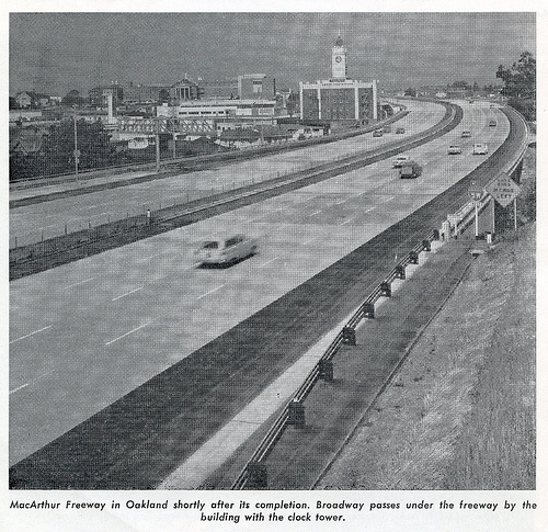
MacArthur Freeway - Oakland CA
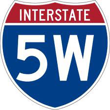
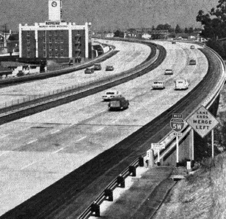
To alleviate traffic on the busy Higway 50 corridor, Highway 580 (first called 5W) was constructed through the heart of Oakland. It was originally conceived to connect Highway 5 and Highway 80. It followed the route of US 50, which was US 48 before that.
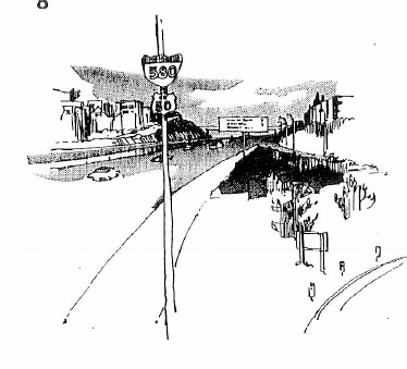
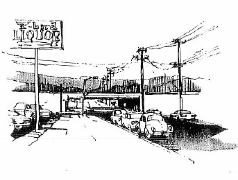
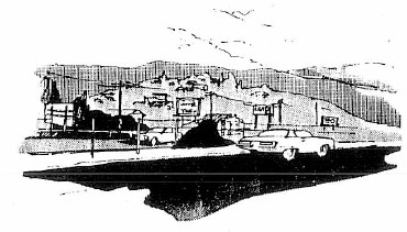
Drawings of the new scenic freeway
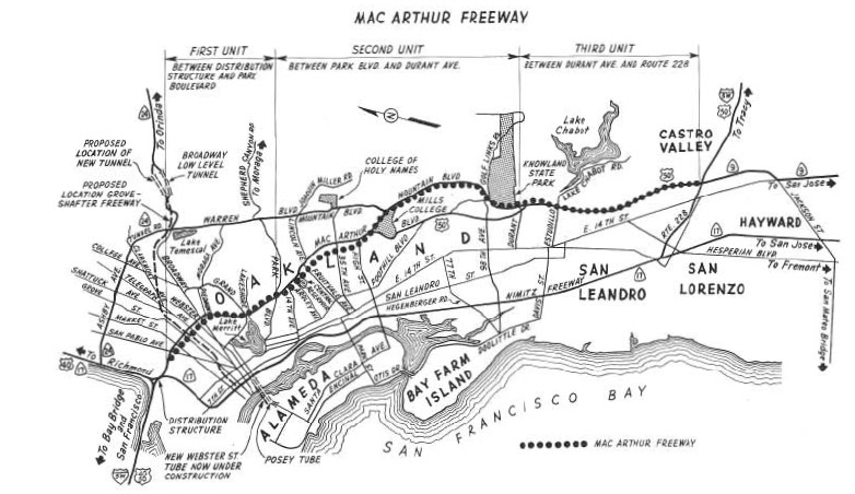
Above: The proposed route as mapped in 1960.
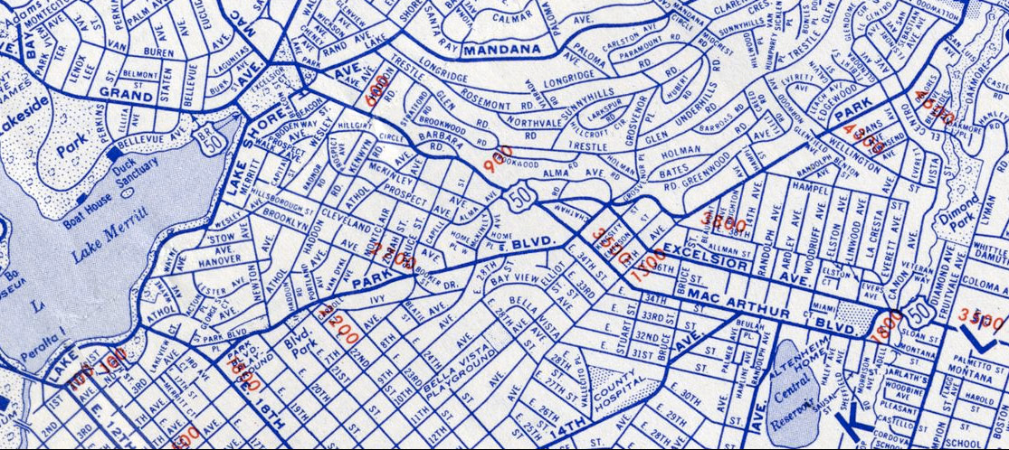
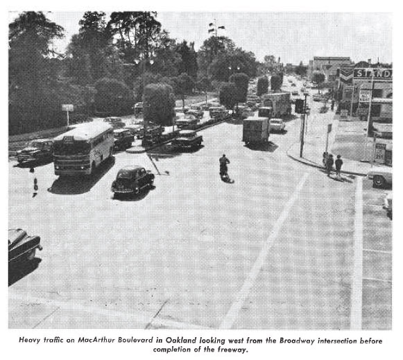
This 1950's map (above) shows Highway 50's route along MacArthur Blvd. (Previously named Hopkins - and parts of Excelsior in the 1930's)
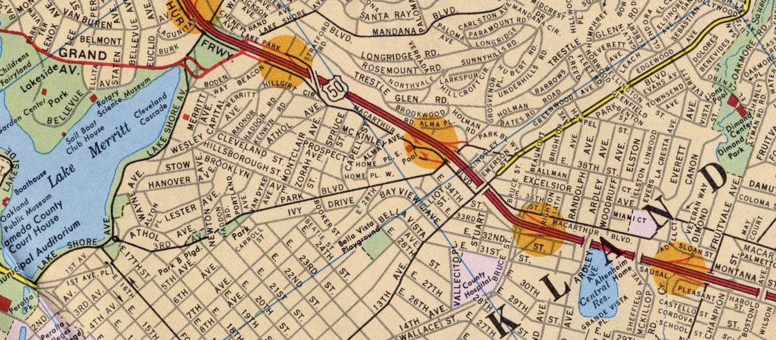
1967 Map shows the concrete ribbon of elevated freeway, and changes to the street grid where it landed. In fact, part of the Central Reservoir was cut off and reconstructed to make way.
![]()
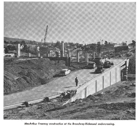
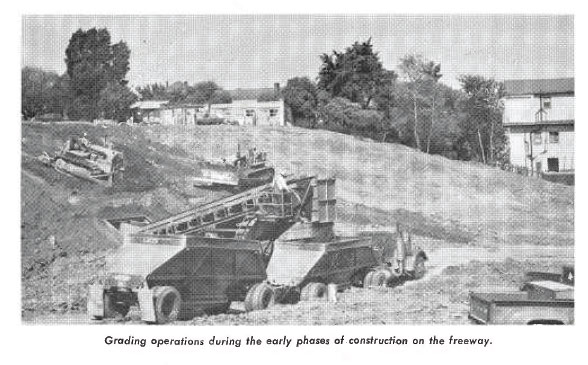
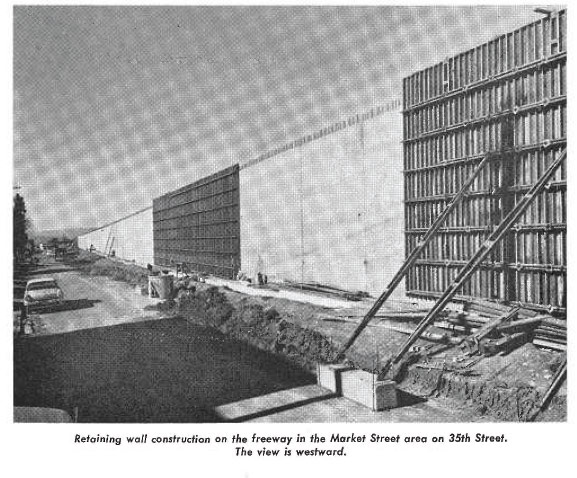
As early as 1955, Right-of-way purchases began in earnest, and by 1960 over $34,000,000 had been spent with an additional $9,000,000 budgeted. The above photo shows the clearing already underway. When this photo was taken, some 1,600 parcels had been gobbled up, of the 2,100 total for the 15.3 mile section from the Bay Bridge to Highway 238 at Castro Valley.
![]()
Further west, from Harrison looking towards the Bay Bridge in 1960. The Sawmill building in the center of the photo is a good reference point for future images of the area.
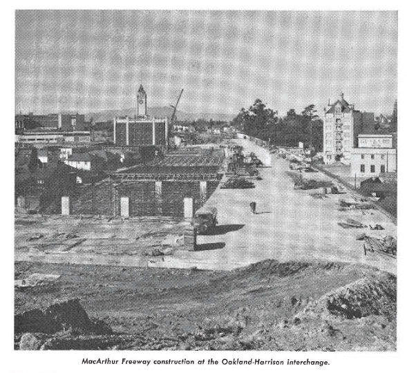
That's the Sawmill building in '62.
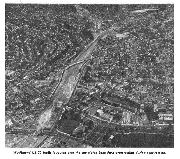
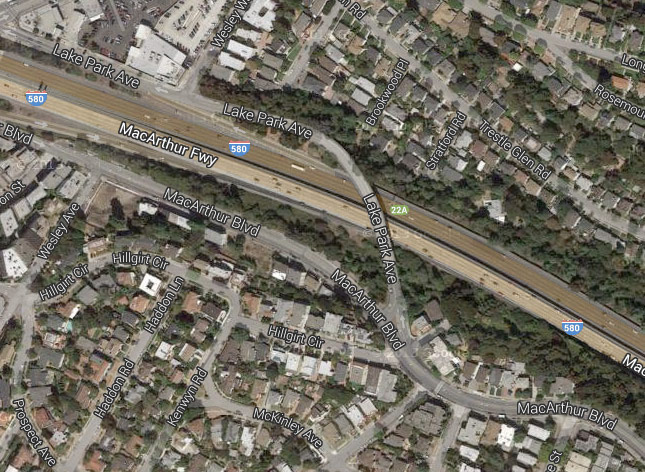
Above is looking south-east from Grand / Lakeshore towards Park Blvd and the Central Reservoir at Ardley Street. 1962. The diagonal bridge used for westbound traffic during construction is the Lake Park Ave overcrossing, seen from above in the image below.
Looking west at the MacArthur overcrossing and towards the Bay. Below, on the Chetwood St. overcrossing Looking towards that MacArthur overpass below on 1/19/2014.
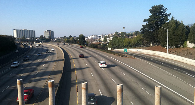
Below- that same view more recently:
Here's the Sawmill building again, after the section between Grand Avenue and the Bay Bridge was opened. Note the Highway 5W sign.
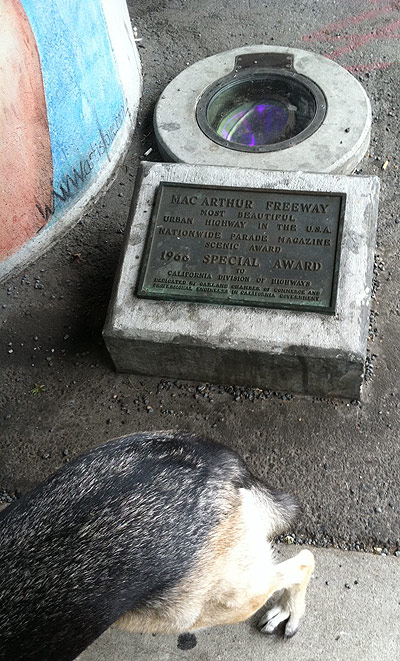
Elfi and the "Most Beautiful Urban Highway in the USA" award from the 1966 Nationwide Parade Magazine. (located near Grand Avenue overpass)
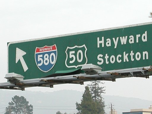
In 2003, the green blocking fell off of the US 50 sign somewhere along the MacArthur section. (Josh Smith photo)

Above looking west and below looking east - construction on the Bay Bridge approach in 1955. Traffic is routed around the new structure on wooden trestles.